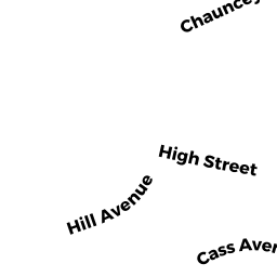
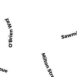
17 HILL AVE
Owner Information
CASTELLI EDWARD P
17 HILL AVE
DEDHAM, MA 02026


Property Details
17 HILL AVE is classified as a Single Family Residential (Conventional).
The primary structure on this property was built in 1900. There are 2,925ft2 of built area within this property. There is 1,402ft2 of residential/living space within this property. This property is listed as having 7 rooms.
17 HILL AVE is valued at $454,000. The land is valued at $237,800 and the structures are valued at $196,500. There is an additional valuation of $19,700 on this property.
This property is in Zone G. Confirm with local Zoning Board authorities to ensure there are no overlays or other easements on this property.
The most recent deed for 17 HILL AVE is recorded at the local registrar in Book 31204, Page 75. 17 HILL AVE was last sold on Thursday, April 4, 2013 for $358,000.
Assessment data from fiscal year 2020.
Flood Data
According to the FEMA National Flood Hazard Layer, this property does not appear to be in a flood zone. It may also be in an area not yet reviewed. Nonetheless, confirm this information prior to taking any action.
To view the flood hazards around this property, create a FEMA "Firmette" Map of the area around 17 HILL AVE.
Broadband Internet Providers
| Provider | Type | Bandwidth (mbps) | |
|---|---|---|---|
| Verizon New England Inc. | DSL | 5 | 0 |
| Viasat Inc | Satellite | 100 | 3 |
| Comcast | Cable | 1000 | 35 |
| RCN | Cable | 500 | 20 |
| RCN | Cable | 1000 | 20 |
| T-Mobile | Fixed Wireless | 25 | 3 |
| GCI Communication Corp. | Satellite | 0 | 0 |
| HughesNet | Satellite | 25 | 3 |
| VSAT Systems, LLC. | Satellite | 2 | 1 |
| Verizon New England Inc. | Fiber | 940 | 880 |
Broadband service provider data from December 2020.
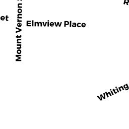
Adjacent Properties
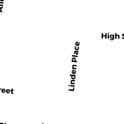
- 122 HIGH ST
Single Family Residential owned by JOHNSON RICARDO N ETAL - 128 HIGH ST
Two-Family Residential owned by AKIKI ELIAS K - 138 HIGH ST
Single Family Residential owned by 138 HIGH ST LLC - 146 HIGH ST
Single Family Residential owned by BULLOCK-VANHAMME AMANDA K - 25 HILL AVE
Single Family Residential owned by SHANNON MARY JANE